
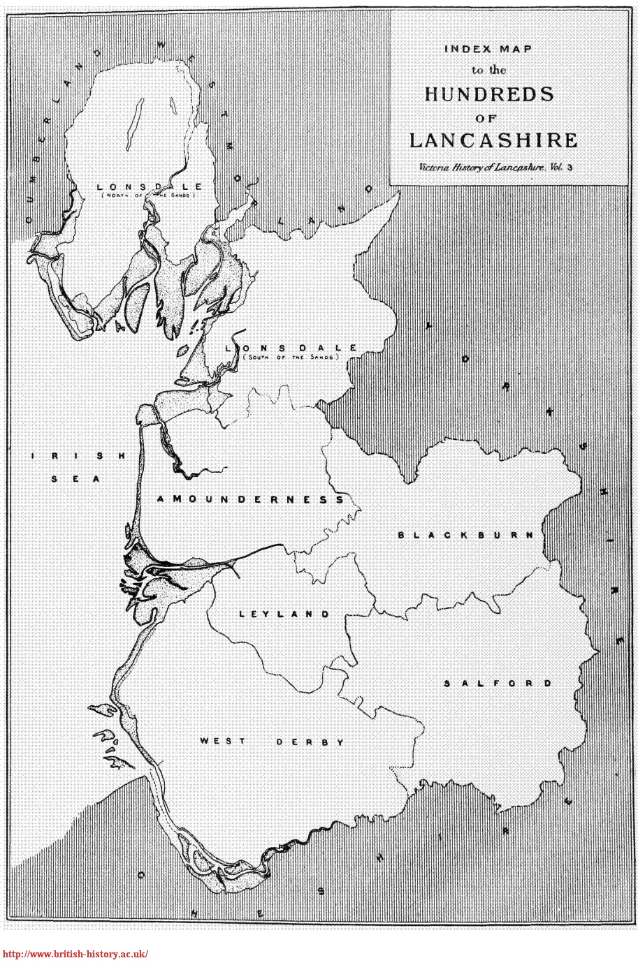
At the time of the Norman conquest, Lancashire was held by Edward the Confessor. The county was divided into six Hundreds, with Rossendale north of the Irwell in the Blackburn Hundred.
In the Domesday survey of 1086, Blackburn Hundred is included in the section 'Between the Ribble and the Mersey'. The introduction to this section includes:
'Roger of Poitou held the undermentioned land'.
The report for Blackburn Hundred reads:
"Blacheburn: King Edward held Blackburn. 2 hides and 2 carucates of land.
The Church held 2 bovines of this land and St Mary's Church had 2 carucates of land in Whalley exempt from all customary dues.
In the same manor woodland 1 league long and as wide as a hawk's syria.
To this manor or Hundred were attached 28 free men who held 5 and a half hides and 40 carucates of land as 28 manors.
Woodland 6 leagues long and 4 leagues wide.
They were (subject to) the aforesaid customs.
In the same Hundred King Edward had at Huncoat 2 carucates of land, at Walton 2 carucates of land and at Pendleton half a hide. The whole manor with the hundred paid 32 Pounds and two shillings in revenue to the King.
Roger of Poitou gave all this land to Roger of Bully and Albert Grelley. There are as many men as have 11 and a half ploughs, to whom they granted exemption from dues for 3 years. It is therefore not now assessed."
(Carucate - the area a team of oxen could plough in a year
League - 3 miles, although the length of a mile was variable
Hide - originally the area needed to support a household, by this time was a measure of the taxable worth of an area of land and did not correlate with a fixed area on the ground)
Some land in Rossendale south of the Irwell was in Salford Hundred. Domesday details for Salford are via the link on the left.
Whilst Roger de Poitou appears to have granted Blackburn Hundred to Roger of Bully and Albert Gresley, de Poitou regained the land in 1092. In 1102, Henry 1 granted Blackburn with other land in Lancashire to Robert de Lacy. This land became the main part of a collection of manors and forests known as the Honour of Clitheroe.
In 1311 the Honour passed by marriage from the de Lacys to Thomas, Earl of Lancaster and became part of the Duchy of Lancaster. It was subsequently acquired by Queen Isabella after the deposition of Edward II in 1327.
(Whittaker TD, An History of the Original Parish of Whalley and Honour of Clitheroe vol 1. London, George Routledge and Sons 1872.
Encyclopaedia Britannica 1911
Straw, the Royal Forests of Lancashire)
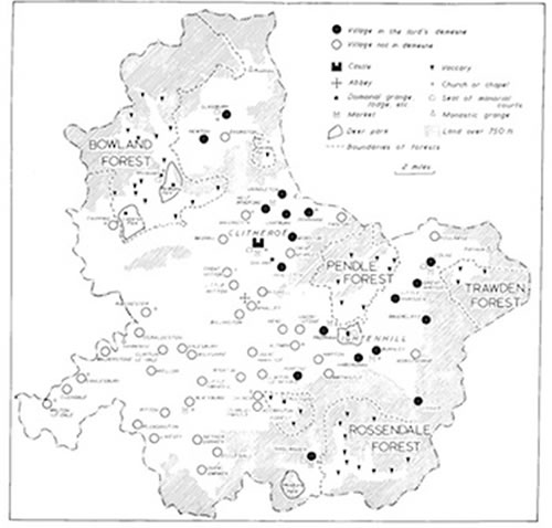
The Honour of Clitheroe is mapped above. It comprised about 60 villages, numerous hamlets and farms and five forests of which Rossendale was one.
The forest of Rossendale (or maybe more correctly chase, as it may have belonged to the lord of the manor rather than the king) was a hunting grounds for the exclusive use of the lord. It was later used for cattle rearing with the deer being enclosed in deer parks, locally at Musbury in 1304-5.
Much of the remaining land was used for vaccaries or cow farming, with some being common land and some waste. Each vaccary had about 50 cows, 50 young cattle (bred for oxen) and 1 bull. Springhill was in the vaccary known as Deadwinclough (although the spelling varies), located north of the Irwell between Waterfoot and Rawtenstall. It is thought that the place name means 'the clough of the dead woman' although this is disputed. Hardman ('Baptist Manse') equates this clough with the brook which runs down the east side of Sion church, under the cottages on Newchurch Road, behind the Red Lion pub and on down to the Irwell in Cloughfold
By the end of the thirteenth century there were in Rossendale 'a couple' of hamlets, a 'dozen or more' vaccaries, a home farm for the Lord and evidence of 'spasmodic smelting'. The corn mills were in Oakenheadwood and Mill End at Waterfoot - the bottom of Booth Road. The land at Hasselyngden was valued at 9l 4s 10 1/2 d in 1399. Rossendale is not mentioned by name.
There were two pinfolds in Rossendale for the impounding of stray animals. One of these was in Deadwinclough. Although its precise location is unknown, the 1901 census refers to Pinfold Farm off Dobbin Lane and there is a local rumour that the gate to the pinfold was preserved in the garden wall of Plantation House, Dobbin Lane - the current residents have no knowledge of this. There was one moredriver in 1422/3, paid 6d for preventing the animals escaping the forest. Not sure how he was expected to cover Rossendale by himself, especially as Trawden had two plus assistants...
Forests were subject to forest law and breaches of forest law considered at the Halmote or manor court. Main breaches related to encroachment, enclosure, venison trespass (i.e. any game) and vert trespass (i.e. wood or other plant material). Each dead animal was inspected and fines levied for lax custody. Any trespass with a dog and bows was taken as poaching.
(see the link 'forest summary', left, for sources and more detail)