
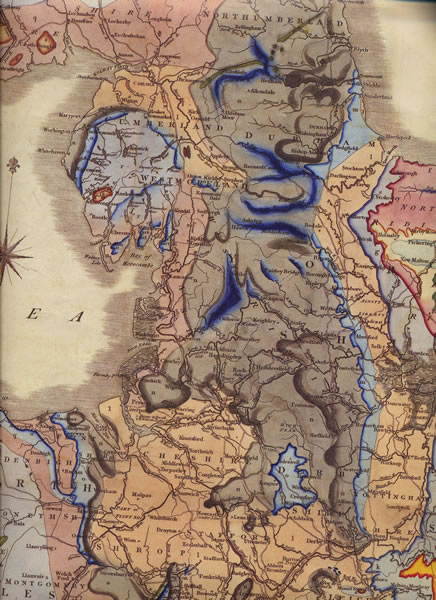
The bedrock geology of Rossendale is largely millstone grit (mudstone, siltstone and sandstone) with outcrops of Pennine lower coal measures formation, especially around Swinshaw moor and Deerplay (the enclosed uplands), with coal in thin seams interspersed with layers of mudstone/siltstone/sandstone. Geologically they belong to the Upper Carboniferous, Silesian group.
In landscape terms the area around Springhill comprises ‘enclosed uplands’ and ‘moorland fringes’ in the moors above Springhill itself, and ‘settled valleys’ in which Springhill is located. Within Lancashire, these first and last are unique to Rossendale. See ‘The Rossendale Landscape’, left, for more information and the map for an overview.
The soil is acidic and required regular liming or marling, which was dug from marl pits…and Marl Pits was owned by a Springhill resident in the 19th century. The BGS soil data is:
Dominant habitat broadleaved woodland
Organic matter medium
Soil parent material Glacial Till
Soil depth deep
pH moderately acidic
soil texture clayey loam to silty loam
(sources:
British Geological Survey,
‘Strategic Stone Study’ Dec 2011,
Lancashire County Council, ‘Landscape Strategy for Lancashire’ 2000.
See links left.)