Springhill
The people and places associated with the Springhill area of Rossendale
Home
Study area
Summary
Resources
Timeline
Geology and landscape
Up to 1066
1066-1507-forest of Rossendale
1507-1750 - post forest
1750-1895 industralisation
1895-1923
1923-current
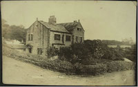
The houses
Residents
Education
Quakers in Chapel Hill
Sion Baptist Church
Albums
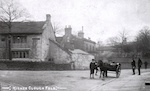
Old Higher Cloughfold
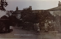
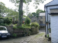
Old Cloughfold
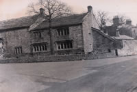
Dobbin Lane pre 1936
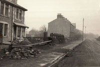
Newchurch Road widening
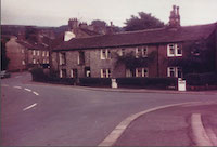
Higher Cloughfold post WW2
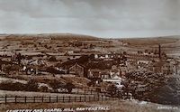
Chapel Hill
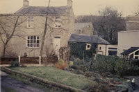
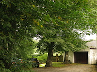
Springhill 1980
Springhill 2004
Springhill 2012
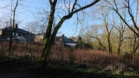
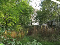
New Croft Meadow
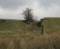
the clough of the dead quene
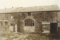
Johnny Barn
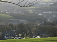
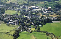
ariel pictures
through the year 2013
New Croft Meadow 2020
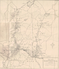
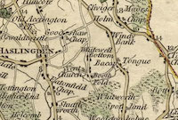
Springhill in maps
Rawtenstall Map c 1950
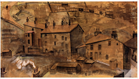
Art and infographics
Sounds of Springhill
Walks from the door
'The Lane' wildlife blog
Species list
Springhill History blog
And another thing...
Meaning, interpretation and One-Place Studies
Albums
Old Higher Cloughfold
Dobbin Lane before alterations 1936
Higher Cloughfold post WW2
Springhill 1980
Springhill 2012
the clough of the dead queue
Ariel pictures
New Croft Meadow
Rawtenstall Map c 1950
Old Cloughfold
Widening of Newchurch Road c 1936
Chapel Hill
Springhill 2004
New Croft Meadow
Johnny Barn
Through the year 2013
Springhill in maps
Art and infographics
Made in RapidWeaver